


Good Tuesday evening, Central Coast!
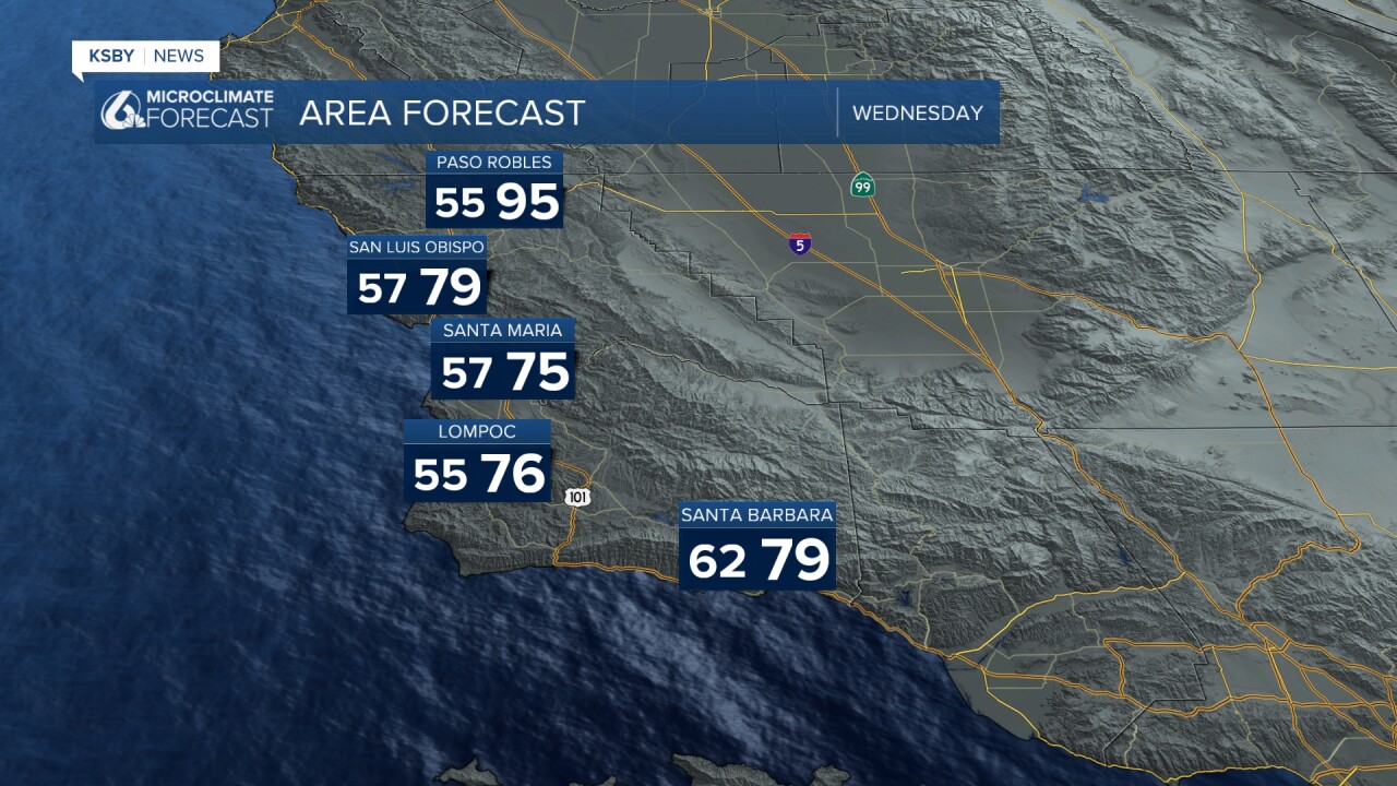
Tonight through Thursday: The Central Coast will experience peak warmth on Wednesday and Thursday as a strong ridge of high pressure dominates directly over Southern California. Marine layer depths will remain shallow over the next few days, allowing inland temperatures to climb well above seasonal averages.

Moisture and Storm Chances well southeast of the Central Coast: A push of monsoonal moisture will bring a slight chance of isolated showers or thunderstorms, affecting areas east of our region tonight through Wednesday morning, focused on Ventura County eastward. The Santa Lucia Mountains and Santa Ynez Mountains could see brief increases in humidity, but significant precipitation remains unlikely.
Below: You can see the showers and storms in the Southern California Desert areas as Monsoonal moisture stays well southeast of us.

Wind Patterns: Onshore flow will strengthen progressively through the week. Southwest winds will become gusty across interior valleys and mountain areas, with the strongest winds expected in the Santa Ynez Mountains. Sundowner wind potential increases Friday, with likely advisory-level conditions Saturday, particularly across the western Santa Ynez range near the Los Padres National Forest.
Cooling Trend Friday-Weekend: A significant pattern change arrives Friday as an upper-level trough moves into the Great Basin. This will bring temperatures 5 to 10 degrees below normal, most pronounced on Saturday, across inland areas of both counties. The marine layer will deepen and expand with drizzle and mist for some areas.
Extended Outlook: The cooling pattern persists through early next week with continued marine layer influence. Gusty winds will remain a factor.

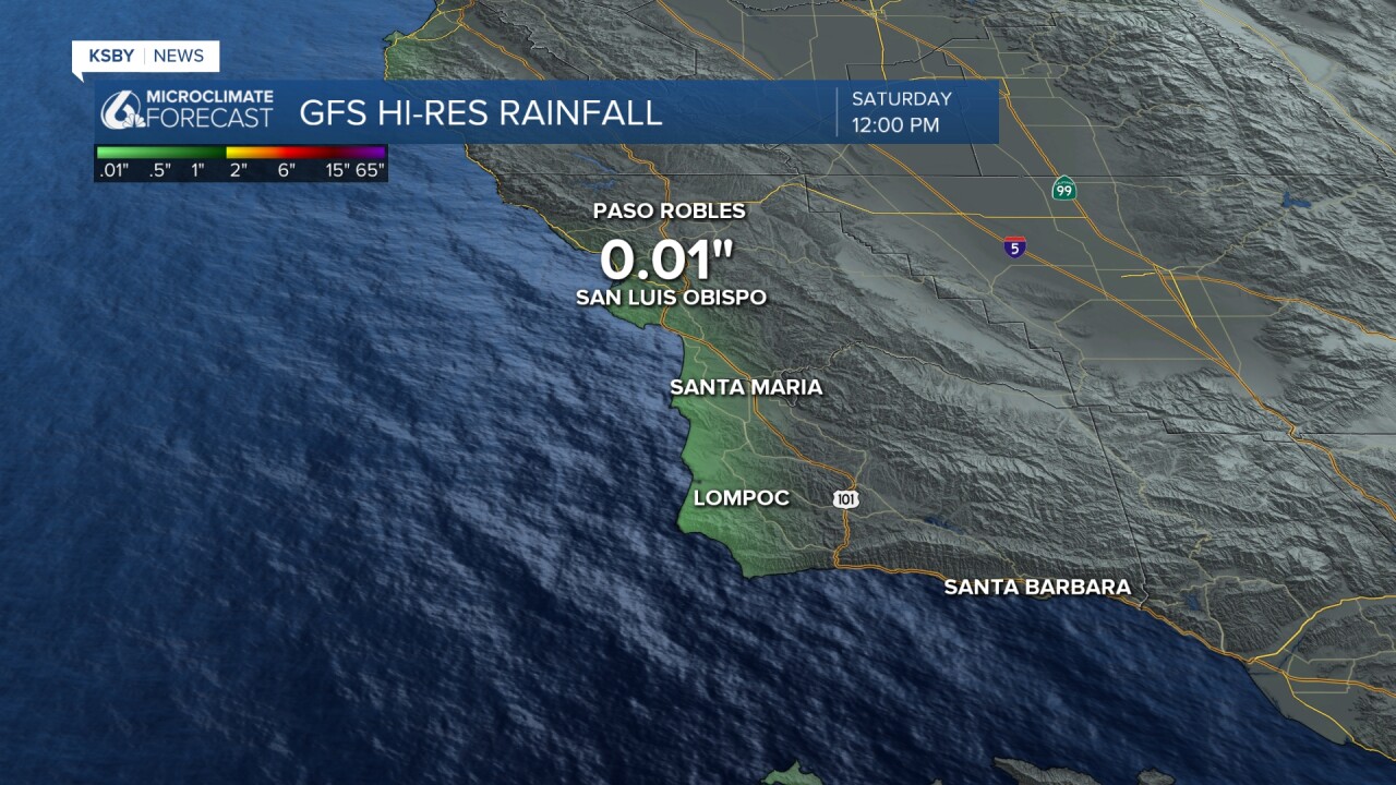
Below: Some of our weather computer models are picking up measurable drizzle for Friday night into Saturday morning as the marine layer deepens once again.
Below: A snapshot of our upper-level trough of low pressure from Seattle into Northern California. This deepens the marine layer and cools us this weekend.


Have a great night, Central Coast!
-Jim
