


Happy Friday evening, Central Coast!
We need some rain, but that is not going to happen until we get well into February.
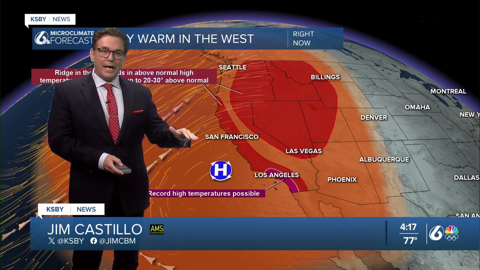
Very warm daytime highs will continue through the weekend, with slight cooling on Sunday and areas of morning fog on Monday.
Our January warm and dry stretch is a result of ridging aloft and offshore winds at the surface. Later Sunday, a weak low-pressure system will impact the region, bringing a brief period of onshore flow and slightly cooler temperatures. The marine layer is likely to reform Sunday night into Monday, and areas of coastal low clouds and fog are possible. Monday will be the coolest day of the week, but still likely to be near normal to several degrees above normal.
High pressure will start to build again on Tuesday, and offshore winds will be back with upper 70s to near 80 for high temperatures Tuesday through Thursday of next week.

Below are the low and high temperatures for Saturday along the Central Coast.


Rest well, Central Coast!
-Jim
