

Happy Sunday, Central Coast!
Like Saturday, this Sunday is uneventful weather-wise. In the last few days, the region has experienced a calm weather pattern. Temperatures have been in that Goldilocks zone; not too hot, not too cold, but just right for any daytime activities. Here is a look at some of the high temperatures we have recorded in the last 24 hours!

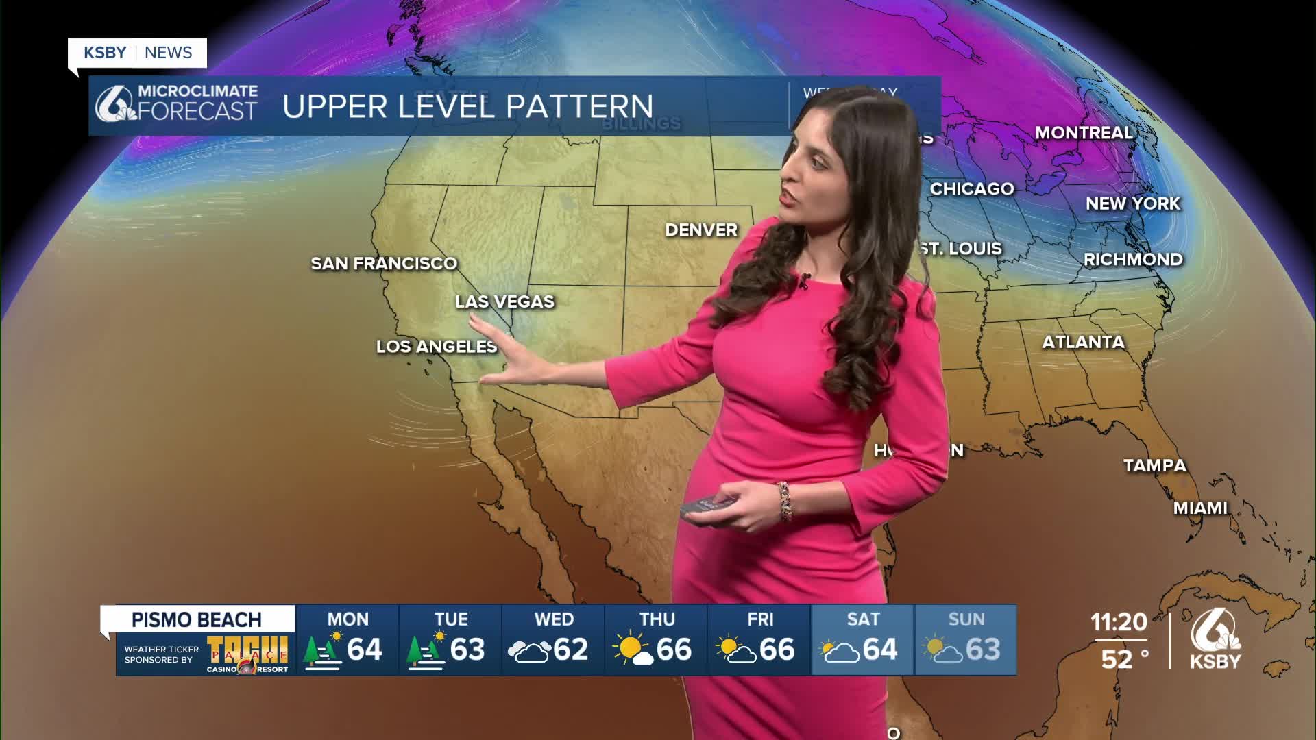
The Central Coast will continue to see similar temperatures into Monday and Tuesday. Wednesday is when things start to change, and we'll begin to feel more fall-like weather. The reason for this cool down is a weakened upper-level low to the southwest of us, which will start to move in our direction Tuesday evening.

This system will bring our marine layer back, causing temperatures to drop an average of 10 degrees. In addition, it will also bring the chance of some morning drizzle.

Enjoy the nice and warm weather we are having for the next few days!

Enjoy your evening. Central Coast!
— Leslie Molina
________________________________________________________________________________________________
¡Feliz domingo, Costa Central!
Espero que hayan disfrutado del fin de semana. ¡El clima estuvo perfecto para salir con la familia! Estas son las temperaturas máximas que se registraron este domingo.

Temperaturas cálidas continuarán el lunes y martes. Paso Robles observará temperaturas máximas en los 80; los valles costeros, en los 70.

Nuestra región empezará a observar un cambio climático a mediados de la semana laboral. El miércoles, nuestra región experimentará un descenso en las temperaturas. La razón detrás de este cambio es un sistema de baja presión debilitado, ubicado al suroeste del estado, que se desplazará hacia nuestra región el martes en la noche y llegará el miércoles en la madrugada.

Además, la capa marina regresará a nuestra región, trayendo neblina y la posibilidad de lloviznas.

¡Buenas noches, Costa Central!
— Leslie Molina
