

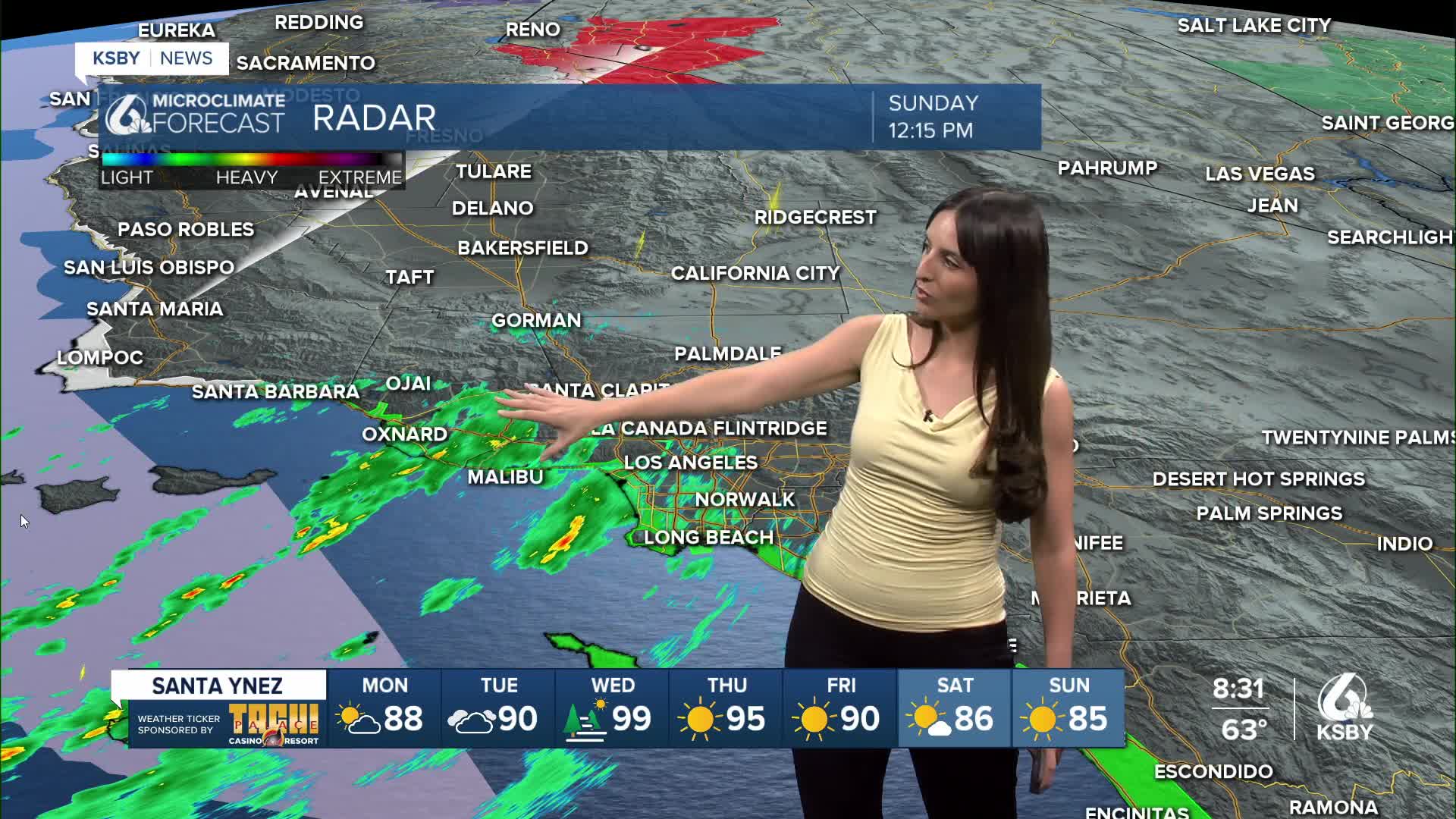


Happy Sunday, Central Coast!
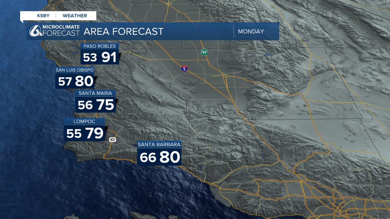
I hope you all enjoyed the mild temperatures this Labor Day weekend. Here is a preview of what you can expect temperature-wise on Monday.
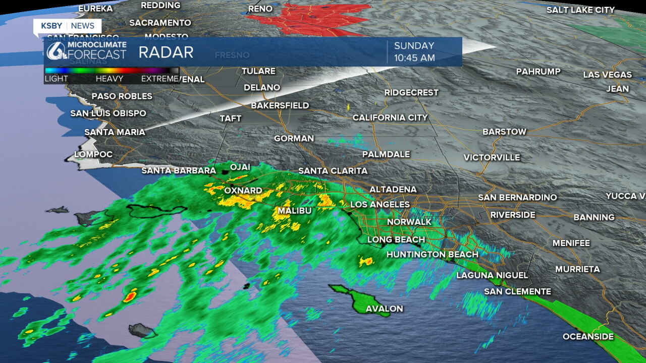
The big story today is the rain that parts of Southern California saw Sunday as a result of distant Hurricane Marie. Some areas of Santa Barbara County may have seen a few sprinkles or drizzle, but the bulk of the rain stayed south of the Central Coast.
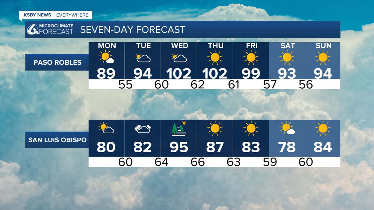
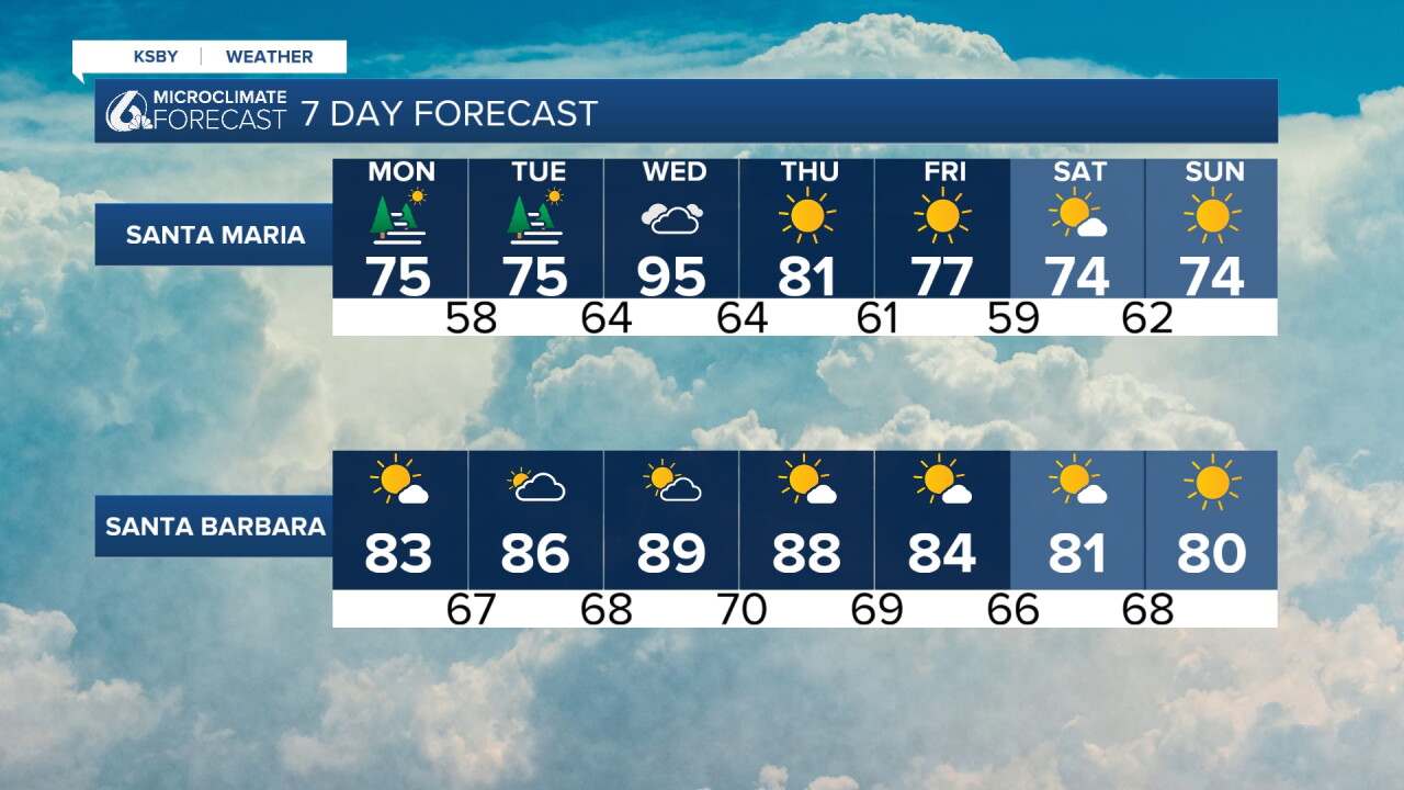
On Monday, we’ll kick off a warming trend. Southern California will be the first to feel the heat, while temperatures on the Central Coast are expected to peak on Wednesday. As a result, Heat Advisories could be issued ahead of the peak.
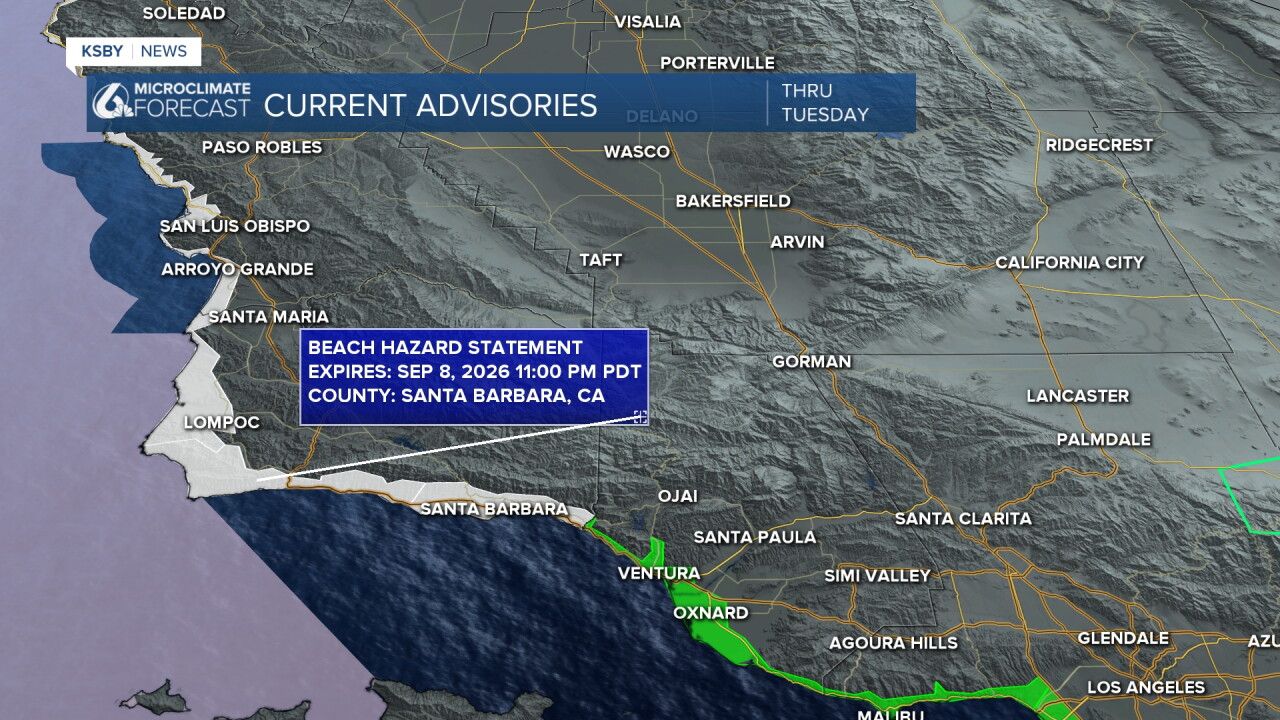
A reminder that, due to Hurricane Marie, we’ll continue to see higher wave heights and an increased risk of rip currents. The Beach Hazards Statement will remain in place through Tuesday evening.
Here is what to expect over the next several days. Make sure to stay hydrated and wear sunscreen because we will warm up!
Enjoy the rest of your evening!
—Leslie Molina
