


Good Tuesday evening, Central Coast! Rain becomes likely on Thursday.

An unseasonably cold upper-level low-pressure system is dropping south from Northern California this afternoon, bringing dramatically cooler temperatures and unsettled conditions to the Central Coast through Thursday. This system will create a complex weather pattern with rapidly changing conditions across our region.
TEMPERATURE OUTLOOK: Expect temperatures to plummet well below seasonal averages for late May. Coastal areas from Morro Bay to Carpinteria will see highs struggling to reach the upper 50s to low 60s - well below normal. Inland valleys, including Paso Robles, Atascadero, Santa Maria, and Lompoc, will only top out in the mid to upper 60s, with some locations potentially staying in the low 60s.
PRECIPITATION CHANCES: While this system originates from an overland trajectory limiting significant moisture, the exceptionally cold air aloft creates instability. Rain becomes likely on Thursday with the best chances for isolated thunderstorms over the Mountains.
Brief afternoon thunderstorms cannot be ruled out, particularly over higher elevations. While most activity will favor the mountains, isolated cells could drift into valley locations like Paso Robles or even coastal areas, though chances remain low.
WIND CONDITIONS: Gusty winds continue overnight around San Marcos Pass, Refugio State Beach, Gaviota, and El Capitan State Beach. Coastal areas and exposed ridges could see sustained winds of 20 to 35 mph with gusts reaching 50 mph. Winds will gradually diminish from Wednesday into Thursday. Rain becomes likely on Thursday.

UNIQUE WEATHER PATTERN: The cold air aloft will virtually eliminate our typical marine layer inversion. This creates an unusual pattern where mornings may feature more sunshine, with increasing clouds and instability developing during afternoon hours - the opposite of our normal coastal weather pattern.
SURF IS UP: A High Surf Advisory continues until 11 pm on Wednesday for 8-12 foot waves. Rip current risk is high. A Gale Warning is also in effect.

FRIDAY & WEEKEND OUTLOOK: The upper low shifts eastward Friday, allowing temperatures to begin recovering. Expect a gradual warming trend with highs climbing back into the upper 60s to low 70s along the coast and mid to upper 70s inland.
EXTENDED FORECAST - High pressure builds over the region Sunday into next week, bringing a return to more typical late spring conditions. Coastal areas will see temperatures in the upper 60s to mid 70s, while inland valleys, including Paso Robles, could reach near 90 degrees by Tuesday and Wednesday next week. Light offshore flow is possible by Monday, which would favor warmer conditions and clear skies.
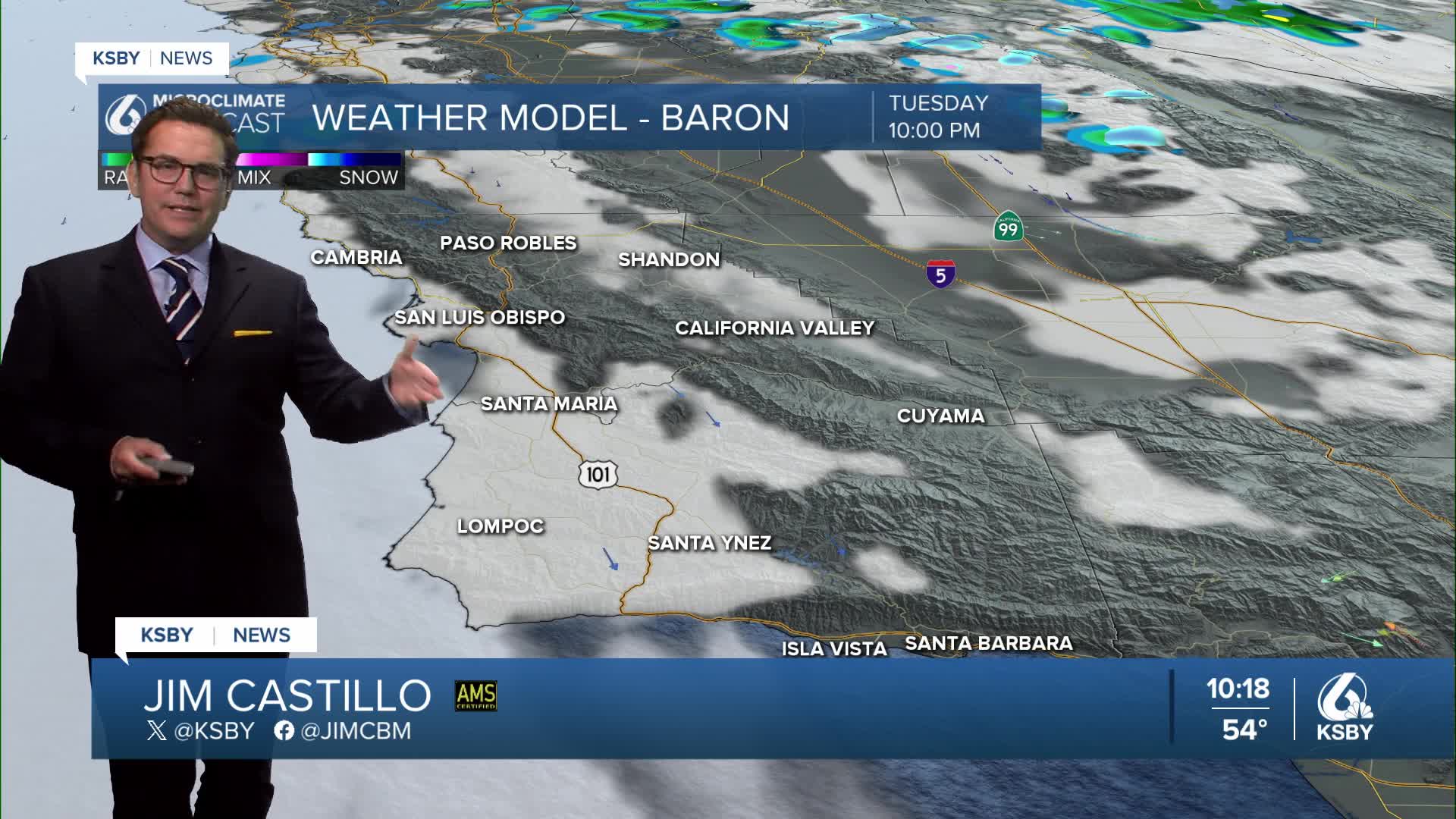
Below: A snapshot of Thursday, lots of clouds with good rain chances.


Keep that umbrella handy on Thursday, Central Coast!
-Jim
