


Flooding along South Bay Boulevard has occurred over the past few years, with some instances causing the road to close entirely. Now, local organizations are working to address that issue.
That flooding affected the mobility of residents between Los Osos and Morro Bay.
“It was pretty intense, I feel like for everybody, cause you know, South Bay completely shut down. So, getting from Osos to Morro Bay was now like a big task trying to go all the way around,” said Mateo Ruiz, Los Osos resident.
Because of those experiences and rising sea levels, local organizations created the Morro Bay Climate Resiliency Transportation Plan.
The San Luis Obispo Council of Governments (SLOCOG), Caltrans, San Luis Obispo County Public Works, City of Morro Bay, State Parks, and the Morro Bay National Estuary Program have been working on conceptual adaptation for the past year and a half.
“We’re looking at concepts that are forward-looking... that are long-range planning efforts in like the year 2040, 2050, 2060, all the way out to 2100,” said John Dinunzio, SLOCOG Transportation Planner.
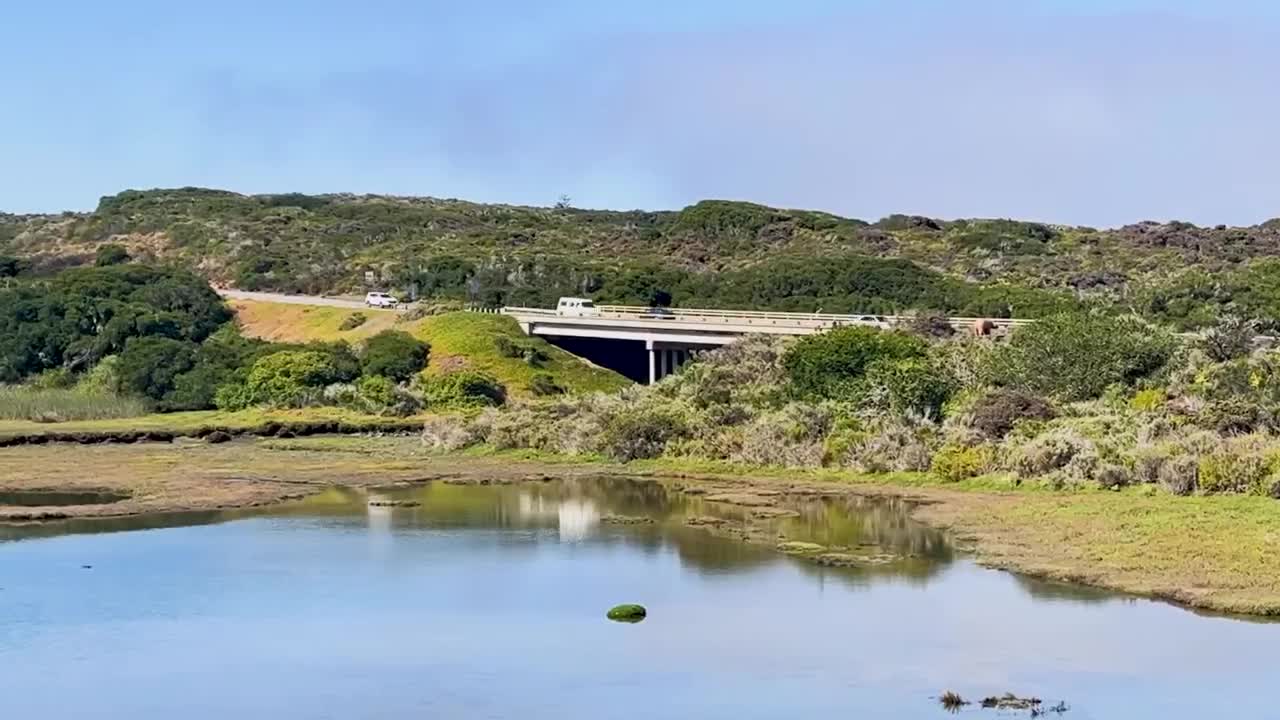
Those concepts include a dedicated levee pathway for bike riders and runners, elevating the roadway with compact fill, or building a causeway.
“Causeways are really just like bridges but they’re elevated, and what is unique about them is that it allows for the water and the wildlife to flow underneath it," Dinunzio said.
Wildlife protection is another key factor of this plan, with the Morro Bay Estuary and State Park just along the road.
Ruiz said the accessibility would be great but he has some questions on how a plan would be implemented.
“It’s more of like the process of getting there, like what’s it gonna look like? Is it gonna shut down the whole road? Is it gonna make traffic get really bad?” he said.
Dinunzio said they will have to decide on what the roadway will look like by the year 2040.
He encourages community members to attend a workshop at El Morro Church of Nazarene in Los Osos this Wednesday, October 22, and bring ideas and feedback.
