


Good morning, Central Coast! Happy Thursday.
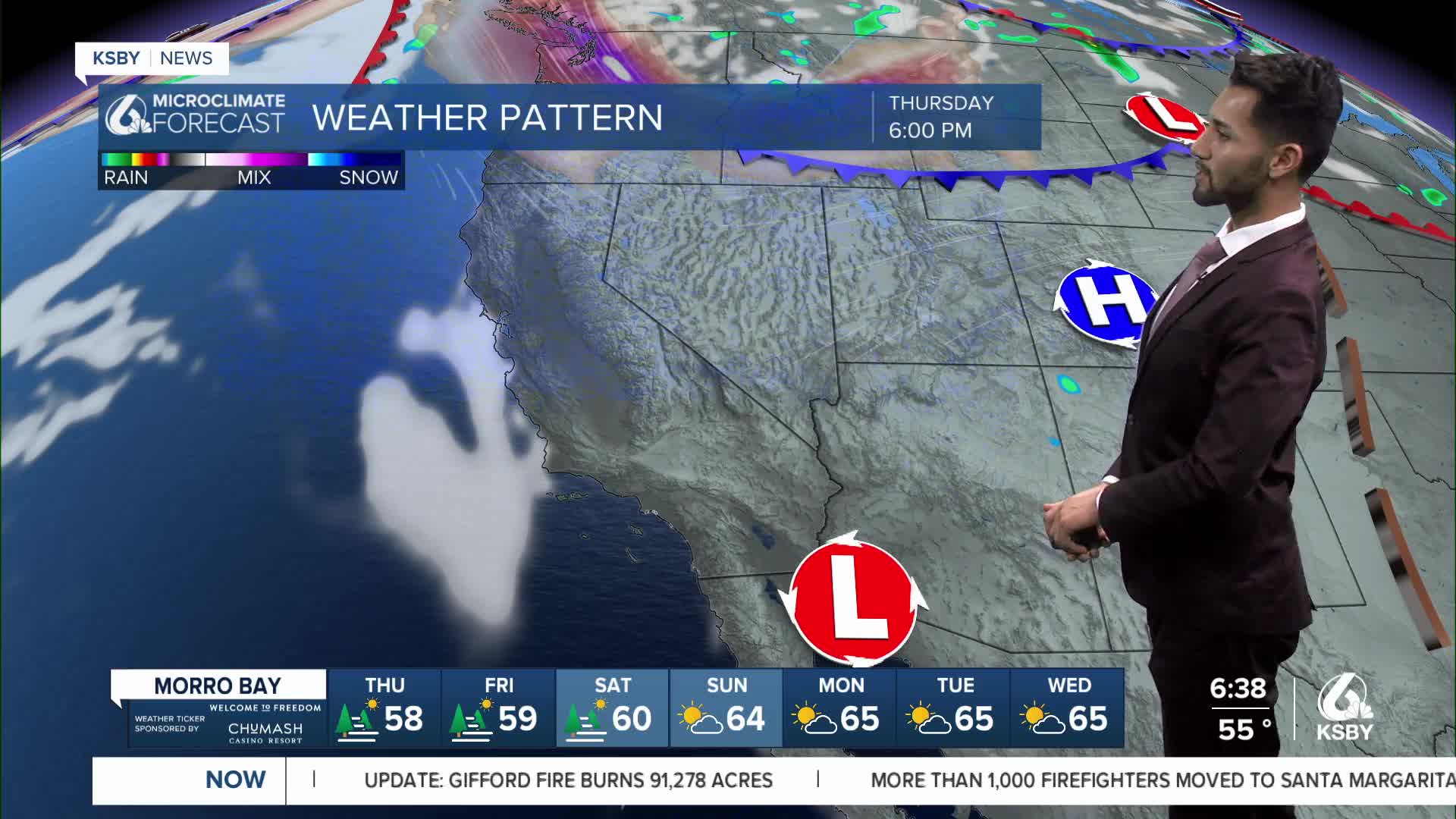
The heatwave will continue today as high pressure aloft builds into the Four Corners Region.
With the warming trend in place, some interior valleys will see daytime high temperatures reach the 90s and 100s.

The hottest temperatures are expected for communities away from the coast, but a shallow marine layer depth will keep temperatures closer to normal along the coast.
A shallow marine layer is creating dense fog across portions of the coast and into coastal valleys this morning, and a dense fog advisory has been issued for the Central Coast until 9 a.m. Thursday morning.

The marine layer depth is slightly deeper along the Central Coast due to being closer to a trough of low pressure to the north.
The trough's influence will likely maintain onshore flow and a shallow marine layer depth at the surface over the coming days.
Mostly sunny skies will be in the forecast today with periods of scattered high clouds over the Central Coast.
Some smoke from the Gifford Fire is shifting to the south today and into tonight. However, there will be areas of smoke in both San Luis Obispo and Santa Barbara counties today.

For the latest updates on the Gifford Fire, click here.
UPDATE: Gifford Fire burns 96,106 acres; containment climbs to 15%
Gifford Fire causing poor air quality in San Luis Obispo County
On Friday, there will slight cooling as onshore flow will increase and will bring a degree or two of cooling each day, but temperatures outside of the marine intrusion will remain above normal.


Have a terrific Thursday, Central Coast!
-Eddie
