

Happy Friday, Central Coast!
The weekend is finally here! Just in time for us to enjoy some cooler weather. Temperatures in the region as of 10:40 PM look to be in the 60s, except for Cambria and California Valley.

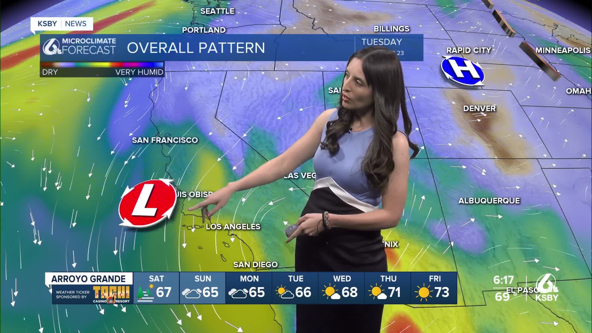
This week has been a bit of a rollercoaster, weather-wise, for our region. A low-pressure system brought rain and lightning to the Central Coast on Tuesday and Wednesday. This system departed from our region and moved just north of the Bay Area, but then our models show it has moved back down south. This is why our region experienced some heavy fog with some mist on Thursday evening.

This low-pressure system is not done with us yet! The National Weather Service is predicting thunderstorms for Santa Barbara County on Saturday. Our models show that this thunderstorm activity could begin in the afternoon and continue into the evening. You can find this prediction and safety tips from the NWS here.

There is also the possibility of some light rain in the South Coast! Our extended forecast shows that the bulk of this rain could happen in the areas highlighted in green. This includes portions of Santa Barbara County, Ventura County, and even some of the more inland areas of San Luis Obispo County.

Here is a look at the temperatures we can expect for our region this Saturday. The Central Coast will experience temperatures in the 70s with overnight lows that range from the mid-50s to the low-60s.

Here is a look at the seven-day forecast! This cooling trend continues into the work week. Starting on Wednesday, we will start seeing a slight increase in temperatures for Paso Robles and San Luis Obispo.

Overall, this weekend will be a gloomy one for Santa Maria and Santa Barbara. It's sure starting to feel more like fall!

Enjoy your evening, Central Coast!
